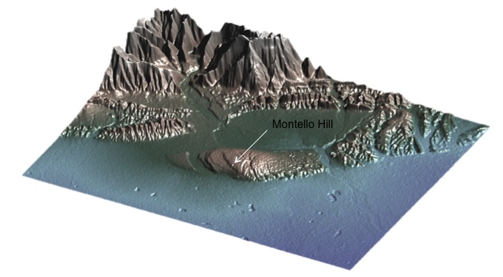
The presence of several orders of Middle and Upper Pleistocene warped river terraces (Benedetti et al., 1999) in the western sector strongly suggests that the Montello-Conegliano anticline is active and driven by the underlying thrust.
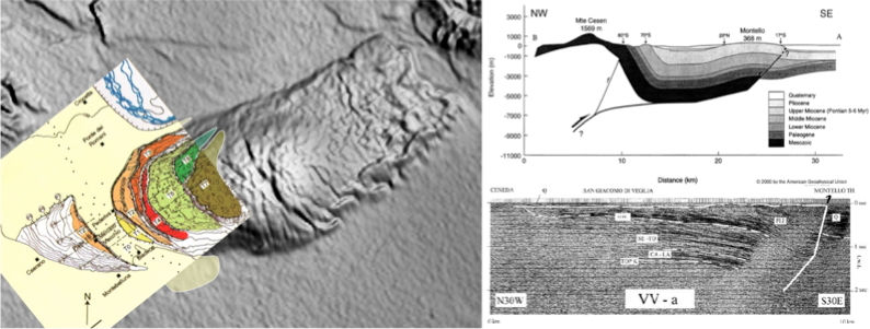
However, despite the spectacular geomorphic and geologic evidence of activity of the Montello-Conegliano thrust, there is only little evidence on how much contractional strain is released through earthquakes and how much goes aseismic (Galadini et al., 2005).
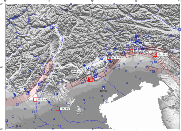
Historical seismicity The Italian seismic catalogues have very poor-quality and incomplete data for the events associated with the Montello thrust, leaving room for different interpretations, as for example the possibility that these earthquakes were generated by nearby faults. In this latter case, the whole Montello–Conegliano thrust would represent a major “silent”, and locked, structure, because none of the historical earthquakes reported in the Italian Catalogues of seismicity for the past seven centuries can be convincingly referred to the Montello source. Alternatively, the Montello-Conegliano thrust may represent a creeping, or partially creeping, fault segment of the seismogenic Southern Alpine thrust front.
During the last Civil Protection Department seismological projects (link), we started developing a kinematic model that accounts for both microplates relative motion and elastic strain accumulation at block-bounding faults. This preliminary model provides our kinematic framework for the enstablishment and realization of the GPS experiment across the Montello thrust fault.
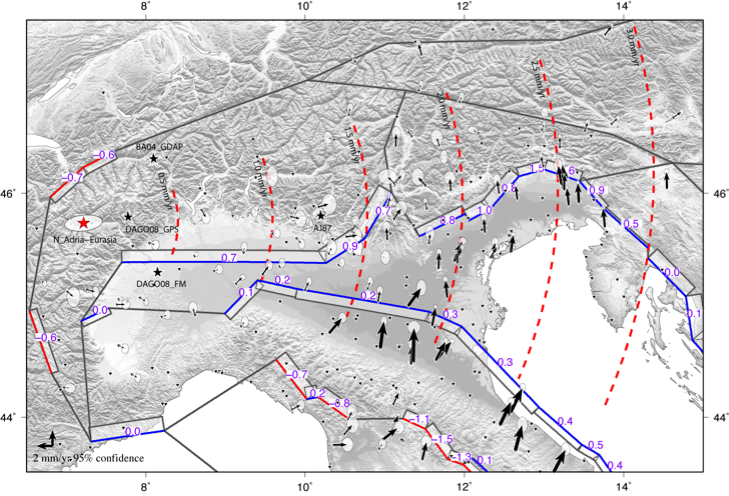
This regional scale kinematic model suggests that across the study region about 2 mm/a of N-S Adria-Eurasia convergence should be accommodated, with fault slip-rates of the order of 1 mm/a, on South verging thrust faults. In order to better understand how, and where, this plate convergence is accommodated across the Montello region, we developed a new GPS array.